About
glacierresearch.org is a collaborative data presentation website, created and maintained by US Army Corps of Engineers Cold Regions Research and Engineering Lab’s Remote Sensing and Geographic Information Systems department.
The mission and philosophy of Glacier Research is to provide a perspective into ongoing glacier and glacier related climate studies worldwide.
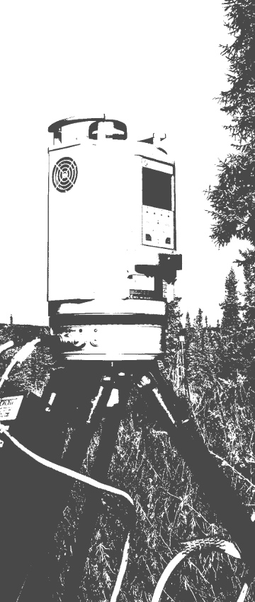
Glacier related science requires a multidisciplinary approach that integrates field-based scientific measurements with technological advancements. A field that is constantly evolving to incorporate new monitoring techniques like time-lapse cameras, thermal image capture, LiDAR surveys, satellite communications and geophysical techniques.
This website and the pages within are the culmination of numerous scientific organizations, academic institutions, government agencies and individuals with a common cause; seeking to provide a glimpse of glacier and research related activities to the public and greater scientific communities.
####Website Instructions
The Locations page lists and maps our research sites with installed sensors, while the Sensor Types page describes the systems and equipment we have designed and deployed. Each specific location, for example Helheim Glacier, has Overview, Images, and Real-Time data pages according to the installed sensors.
Real-Time Data from our climate stations is dynamically loaded, allowing the user to select the sensors and timeframe to display. Multiple sensors can be displayed at once, allowing for measurement comparisons. In addition, each climate station has a Climate Station Diagram.
The Real-Time Images page displays the latest images captured by all of our satellite linked time-lapse camera systems installed around the world. Selecting an individual camera tile takes the user to the Real-Time Image viewer, where they can scroll through an archive of past images.
Updates, news, along with notes and pictures from our fieldwork are available in the Blog.